16.6 Acres of Hunter’s Homestead – LANDLOCKED
16.6 Acres of Hunter’s Homestead – LANDLOCKED
Description
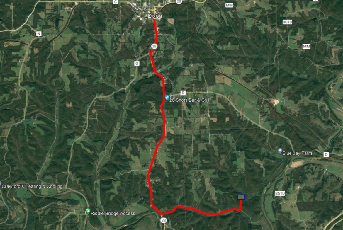
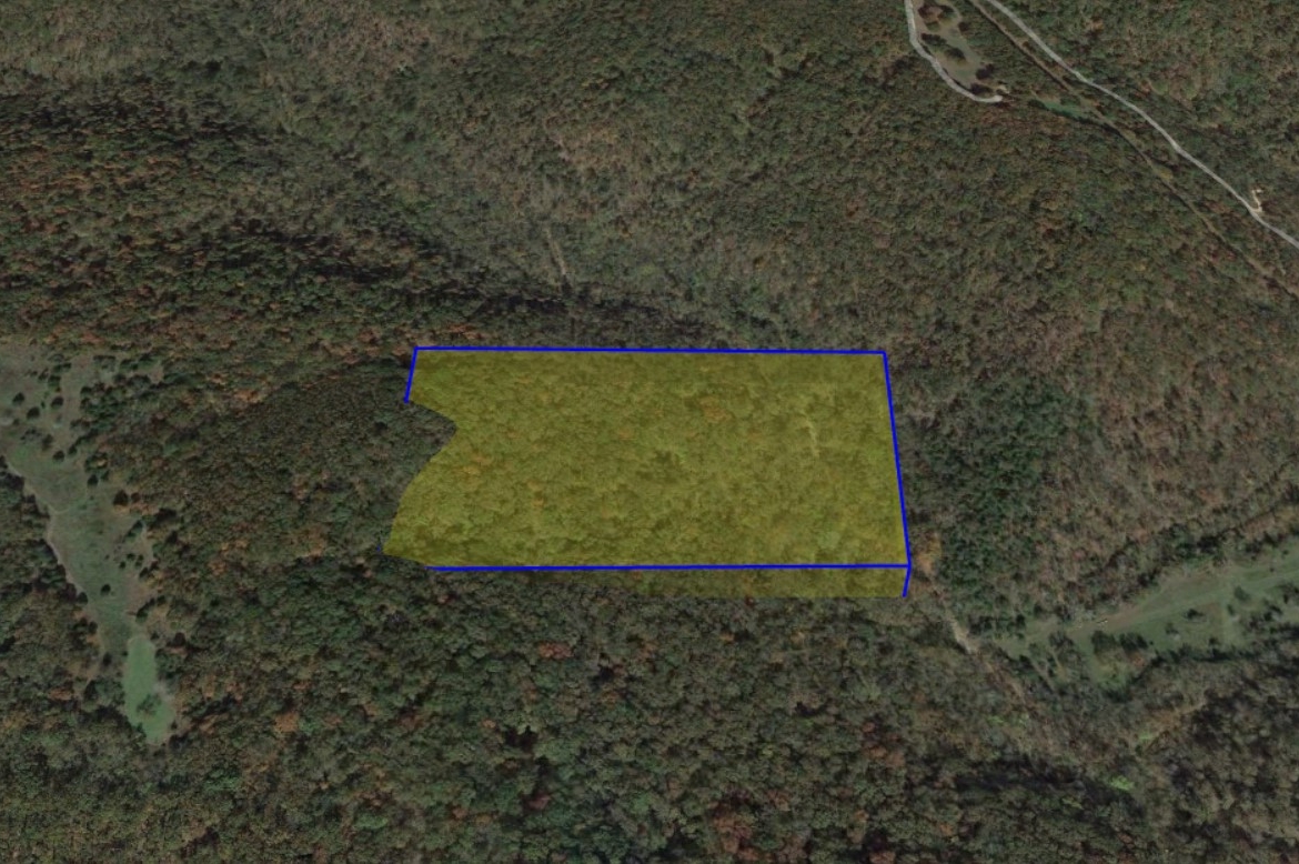
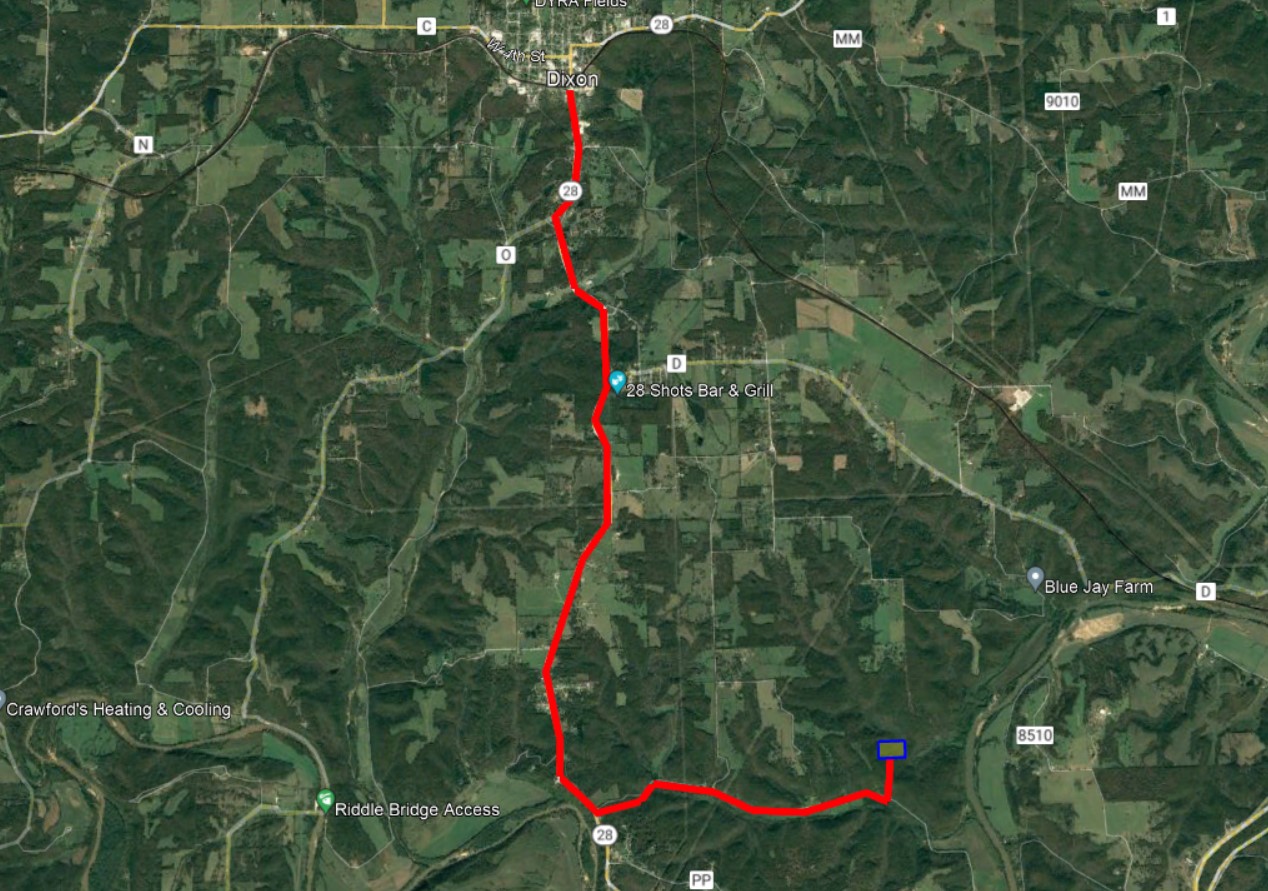
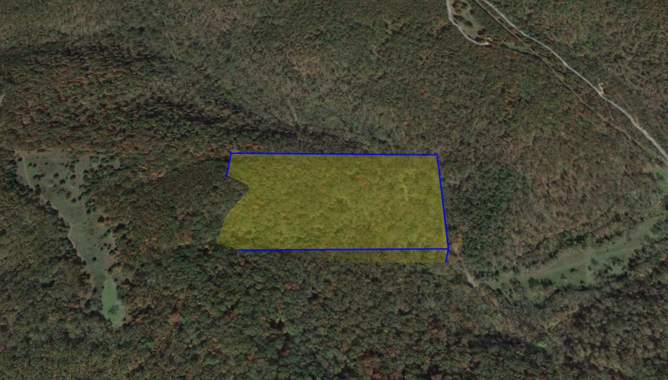
Looking for the perfect place to build your off-grid cabin for hunting and escaping to nature? Look no further than this beautifully-wooded tract of Missouri’s famously rolling landscape. This plot is covered in old growth, making it a colorful camping ground for you to enjoy while you prepare for hunting season.
This property encompasses a large hill side and a small valley where there is seasonal running water, which is sure to attract many forms of wildlife, as well as large and small game. Another key benefit to this gently-sloped landscape is Pulaski County’s lax regulations and zoning. As an owner of rural land in this sparsely-populated county, you are free to build up and modify your property however you see fit -no applications or permits!
Despite its seeming seclusion, it’s only 30 minutes from the town of St. Robert, Missouri, where you’ll find large chain stores, restaurants, and lodging, such as Walmart, Cracker Barrel, and Holiday Inn. You’ll also find a variety of other restaurants and bars for a night out on the town.
And if you’re looking for big city amenities, you’ll find everything you need in St. Louis, Missouri, which you’ll find on the other end of a scenic, two-hour drive to the northeast.
The Southern Missouri land market is growing, and we expect this property to go quick. Give us a call or leave a message today to secure this property!
*Please note that this property is landlocked with no physical access. A road can be graded leading into the property at the buyer’s expense.
Property Details
Parcel Number: 08-4.0-20-000-000-012-000
All Cash Price: $20,000.00
Down Payment: $5,000.00
Monthly Payment: $399.00/50 months
Type: Vacant Land
Location: Pulaski County, MO
Country: United States
State: Missouri
County: Pulaski
ZIP: 65459
GPS Corner Coordinates starting at the northwest corner and going clockwise:
NW: 37°54’49.88″N, 92° 3’13.35″W
NE: 37°54’49.67″N, 92° 2’59.28″W
SE: 37°54’42.91″N, 92° 2’59.54″W
SW: 37°54’43.24″N, 92° 3’13.21″W
Power: Would be solar
Sewer: Would be septic
Water: Would be carry or well
Title: Special Warranty Deed
POA/HOA Fees: None
Taxes: $12.01
Contract: Financing Available
Size: 16.6 acres
Legal Description: N2 SE SW4 EXCEPT E 225′
General Elevation: 795ft
Zoning: Rural Land, no restrictions
Roads: Dirt/gravel/easement
Everything we know about the property is listed here. This information provided is deemed reliable but not guaranteed. Buyer is responsible to complete his or her own due diligence.
To buy this property, click the “Reserve this property now” to pay the (non-refundable) document fee and reserve the property for 24 hours. We will then send you an email requesting your information and payment plan preference (cash outright or payment plan). We will then send you a dochub invitation to electronically sign and begin the closing process.
Details
Updated on June 15, 2022 at 3:15 pm- Price: $20,000.00
- Land Area: 16.6
- Property Type: Acreage
- Property Status: Financing available


